INDEX
______________
Near Trellech
April 2017
 After a splendid lunch at The Lion in Trellech we walk past "Harold's Stones" between the Wye and Usk valleys, site of a 17th century furnace where iron ore was smelted, and the farm house at Hygga, dating back to the 16th century.
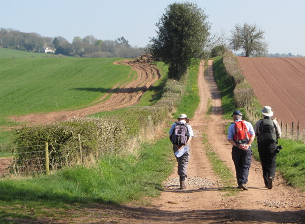
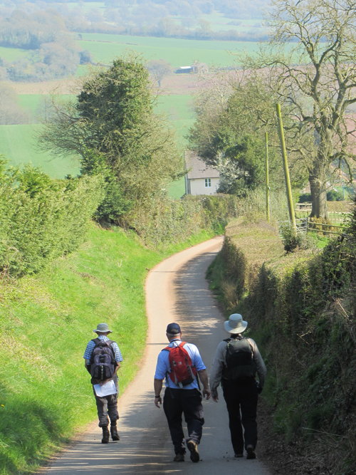
Trellech was once one of the largest settlements in south Wales though now just a small village with outlying farms. We walk good tracks and permissive paths through Woolpitch Wood, past Trellech Furnace and past crumbling farm buildings.
It's a lovely bright spring day with thin passing clouds, very green, very pleasant, firm underfoot and excellent walking.
Afterwards to The Beaufort, Raglan where the reception desk seems confused about who we are until John produces all relevant paperwork for them.
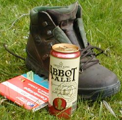
Eventually we find our rooms to be comfortable and good value, similarly the restaurant is of a good standard with fish presented fresh on beds of ice.
It's occasionally an awkward mix of Wales and Spain but deserves a visit and is very popular.
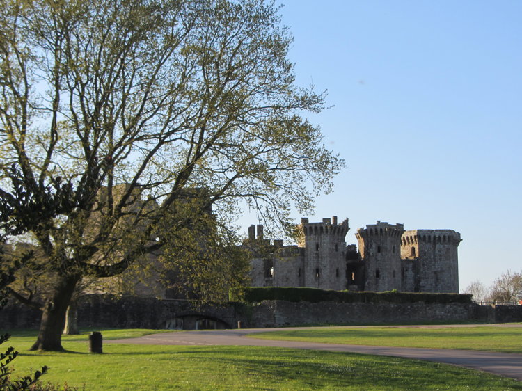
Raglan Castle also deserves a visit - ruined yet presenting a noble face to visitors.
Saturday is spent in Brecknockshire, but on Sunday we remain in Monmouthshire for a walk from Pontypool incorporating a stretch of the Monmouthshire and Brecon Canal (the Mon and Bec). Isolated from the main canal network, it nevertheless has hire boats on which to explore the beautiful and quiet 35 miles along the Usk valley. And it provides delightful towpath walking and cycling.
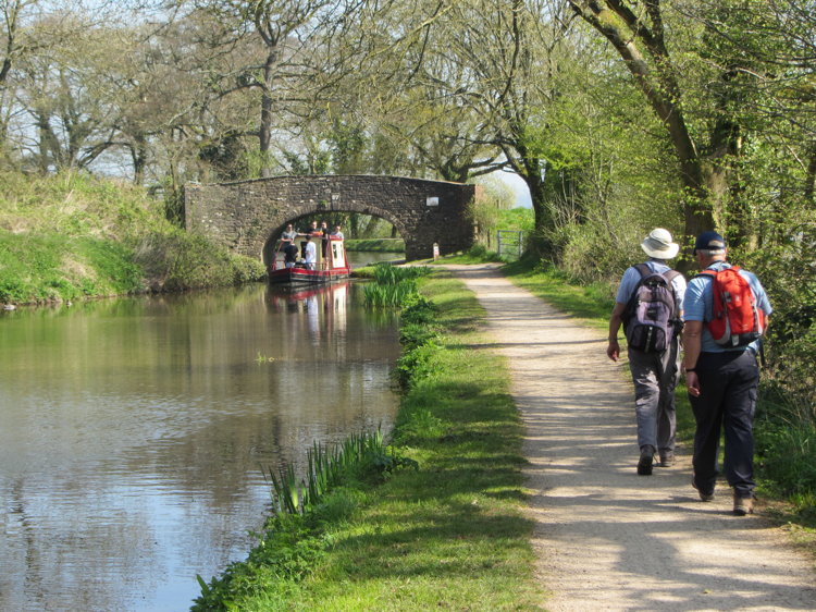
Pontypool was a great iron ore town and its prosperous past has left 158 green acres as Pontypool Park, where our walk began. Past the ornamental ponds through which flows the river Llwyd, past the bandstand and the dry ski slope till we reached the beautiful Mon and Bec towpath.
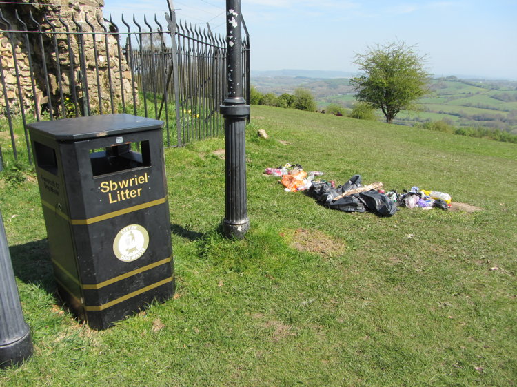 From here we branched off and up a steep mediaeval paved track to the top of the hill and a folly and a little further on to a grotto.
Unfortunately the grotto, used in about 1700 as a summerhouse, is now entirely barricaded in by spiked railings and, when we visited, carelessly draped with the remains of thoughtless day trippers - despite the obviously empty litter bin just yards away.
Lunch was on our way home at The White Hart, Llangybi. Excellent value for a splendid Sunday lunch, generous enough to keep us well fed for several days!