THE PEDDARS WAY
SUFFOLK
INDEX
_______________
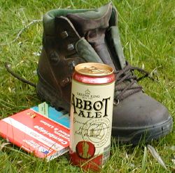
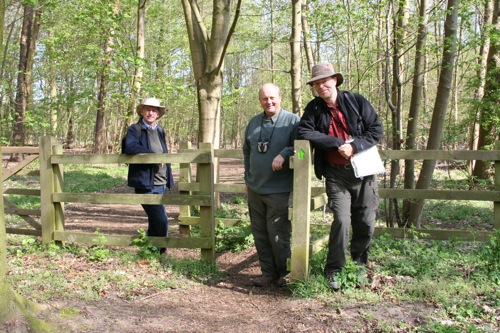
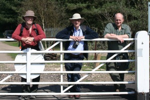
Three of the Four Blokes Who Do Walks resting before starting the Peddars Way. April 2009.
...
is a 46 mile walk across Norfolk starting in Thetford Forest and ending
in Holme next the sea. 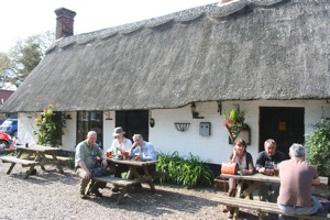 There
it meets the Norfolk Coastal Path and it is our aim to reach Wells next
the sea (east of Holme) in time to commemorate the tenth anniversary of
our first walk together, from Wells.
There
it meets the Norfolk Coastal Path and it is our aim to reach Wells next
the sea (east of Holme) in time to commemorate the tenth anniversary of
our first walk together, from Wells.
We booked in at the Chequers at Thompson, a charming thatched pub with a good restaurant, range of real ales and a separate modern accommodation block with three bedrooms. Service was friendly and prices economical. It is barely a mile from the Peddars Way path so we took two cars, drove on the first day to the start of the walk at Knettishall, lunch at the Dog and Partridge at Stonebridge then back to Thompson to drive the second car back to pick up the first.
We made a similar arrrangement on the second day, driving up to North Pickenham and ambling back to Thompson for a well earned pint on Sunday afternoon.
 Apart
from about 3 miles south of North Pickenham which was on country road
we thoroughly enjoyed the southern half of the Way so far, taking in pingos,
open woodland and breckland. The Military Firing Range signs in the Stanford
Battle Area to the west didn't put us off and there was certainly
no visible action there. No access either, though on rare occasions the
few
remaining churches can be visited.
Apart
from about 3 miles south of North Pickenham which was on country road
we thoroughly enjoyed the southern half of the Way so far, taking in pingos,
open woodland and breckland. The Military Firing Range signs in the Stanford
Battle Area to the west didn't put us off and there was certainly
no visible action there. No access either, though on rare occasions the
few
remaining churches can be visited.
Want
to know more about the Peddars Way? Visit the National Trails site for
the Peddars Way
that includes an accommodation search plus lots more info.