INDEX
______________
Pen Y Fan from Corn Du
April 2017
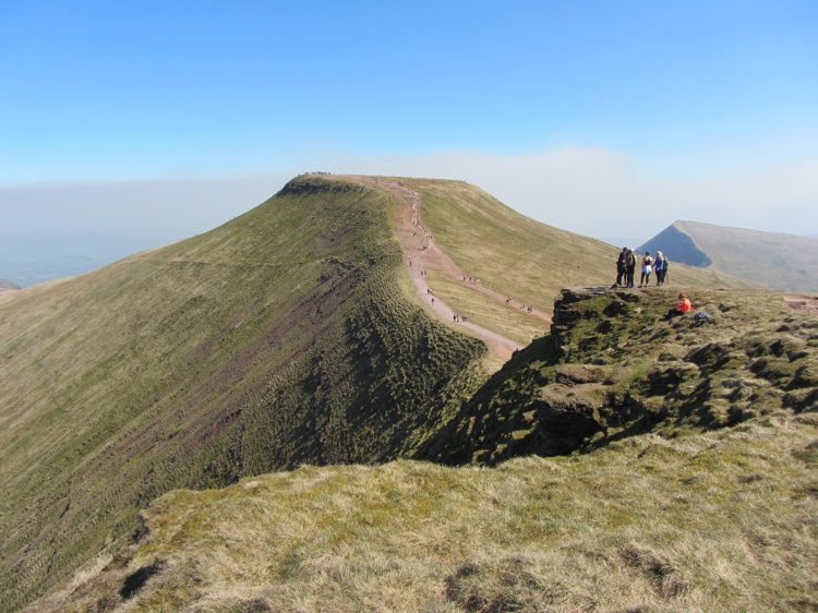
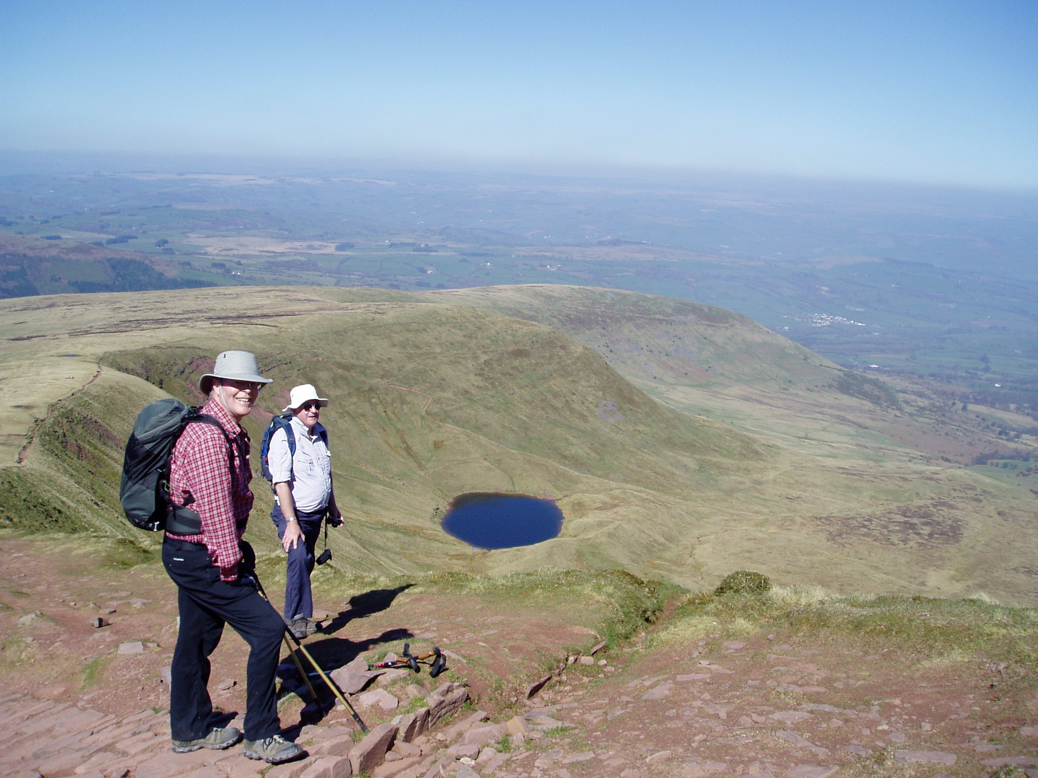
The central high lying area of Brecknockshire is the Brecon Beacons, and our big walk was to Pen Y Fan (886metres and the highest point in southern Britain) and Corn Du (873 metres and second highest). These twin peaks are challenging for idle strollers as the ascent is 447 metres (1466 feet) but perfectly achievable, as proved by the thousand or so walkers of all shapes and sizes who swarmed along the ridge and stone approaches, and parked for miles along the road verges. We were certainly some of the older clamberers but with steady progress and essential pauses for water we made it in good time and with few after effects.
It doesn't usually look as barren as this, but it was a hot day. However the weather can change suddenly and mist can descend rapidly. On the ridge line is an obelisk commemorating Tommy Jones, a five year old boy who died after getting lost in 1900. It was nearly a month before his body was found.
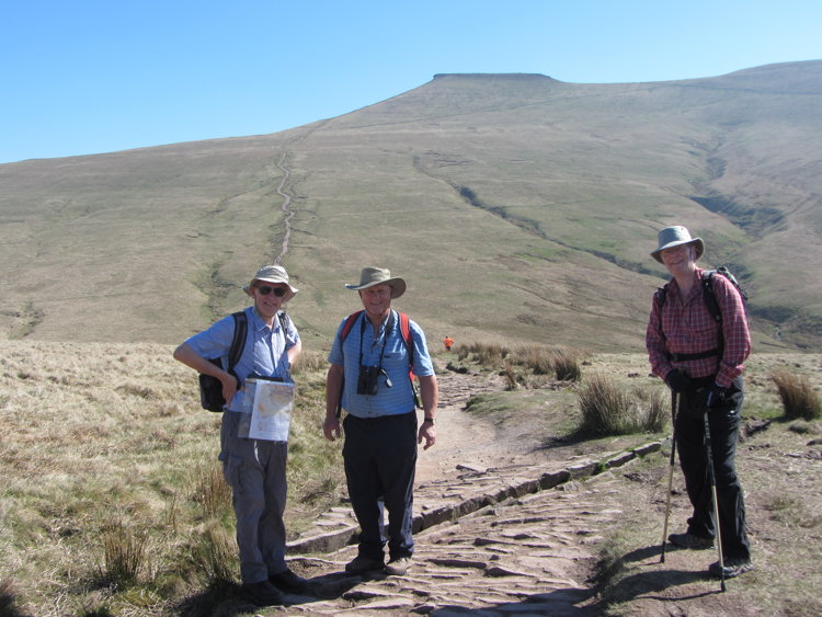
Tim and John returning from Pen Y Fan (top of the ridge in the background) to Corn Du.
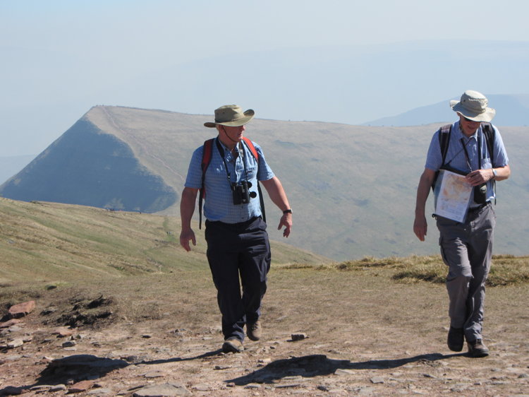
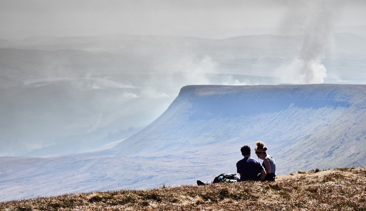
Views on the approach to Corn Du are spectacular, as Mark and Duncan saw
Farm fires start to create clouds in this photograph by Mark.
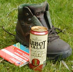
To rehydrate we went down to Crickhowell where at The Dragon, we found good beer and sandwiches rounded off with a gentle stroll around the town, content that we had now walked every county in Wales - except Anglesey, which we expect to complete in July.