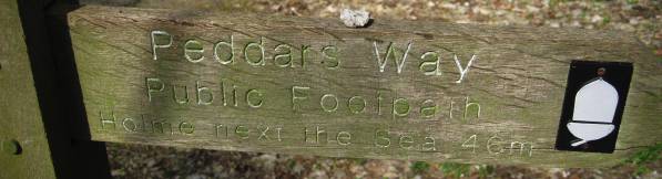
PEDDARS WAY
SUFFOLK
INDEX
_______________
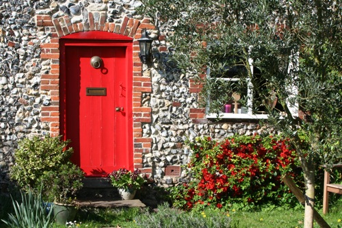
A bright door for a flint faced cottage on the outskirts of Thompson, just off the Peddars Way.
April 2009
...
depends on whether you have a car, intend to camp, need accommodation
and how far you like to walk each day. We don't like to go more than about
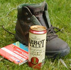
12 miles a day, leaving time for a leisurely breakfast and a lunchtime
pint, but you can of course stride out to cover more miles.
Our original plan, following the National Trail Guide was
1.
Knettishall to Little Cressingham 14 miles
2. Little Cressingham to Castle Acre 12 miles
3. Castle Acre to Sedgeford 14 miles
4. Sedgeford to Holme 6 miles
5. Holme to Burnham 14 m
6. Burnham to Stiffkey 10 m
7. Stiffkey to Weybourne 12 m
8. Weybourne to Cromer 8m
and we may stick to a modified version of this.
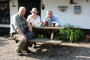
This (below left) is Stonebridge. We had lunch at the Dog and Partridge. and finished up at The Chequers at Thompson (below right).
 |
 |
Look out for the quirky stone sculptures along the way:
"Surveyors
have made their lines on the land trapping Albion in a net of roads. A
taut web on the edge of empire"
" The footprints of our ancestors familiar as our own faces remote
at fossils written on clay and washed away over & over over and over"
" And I being here have been part of all this caught & thrown
like sun on water have entered into all around me"