INDEX
______________
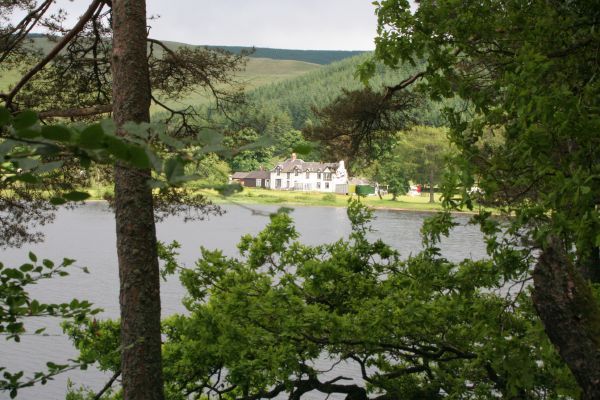
Tibbie Shiels Inn, in Selkirkshire viewed from the north side of St Mary's Loch.
June 2013
The A708 is a scenic route from Moffat to Selkirk and about 10 miles north of Moffat the road reaches St Mary's Loch.
Unfortunately the rain was against me, as was my map reading. I thought the road was the boundary between Selkirkshire and Peebleshire,(and I think it is now) but the 1890 boundary was actually further north and west, in the hills.
It was bucketing down as I browsed through Moffat (good bookshop) and still bucketing at The Grey Mare's Tail Waterfall which I would have liked to visit, but by the time I reached Tibbie Shiels Inn and parked in the car park by the Glen cafe it had moderated to constant drizzle, so I set off.
Tibbie Shiels was a widow who kept the inn from 1824 to 1878 and had James Hogg and Sir Walter Scott as visitors.
I made a circuit of the loch, taking the east shore north and the west shore south, about a 7 mile walk. The eastern shore makes for a good walk along solid trails, the odd sheep track and a stretch on a forestry road before rounding the north end of the loch. So far so good.
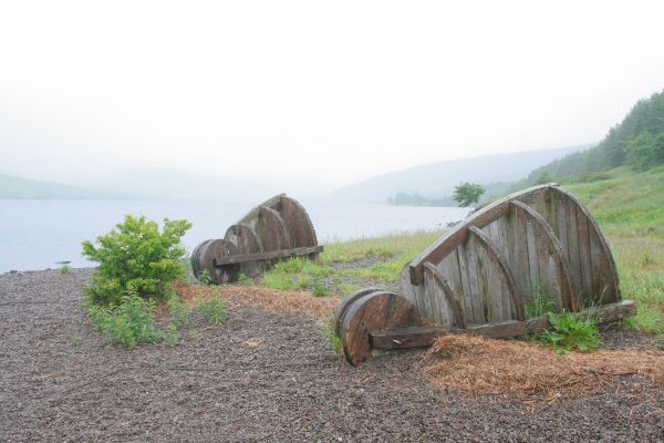
This is an odd yet curiously appealing sculpture that loomed out of the mist by the loch side.
Having walked the eastern shore through what was an easy country walk I now returned by the western shore, assuming that the tracks marked on my map as just above the A708 would serve me well. I was wrong. Without actually invading a couple of farm yards I was unable to reach the track at first, then further south along the road I headed for the marked churchyard, taking the track that crossed at right angles and back towards Tibbie Shiels.
Unfortunately after less than a mile this track faded out (right next to a dead sheep) and I found myself in waist high bracken and nettles plus ankle high bogs and burns. I extricated myself eventually through a barbed wire fence into someone's garden and eventually back on to the road. My soaking feet stuck to the road after that.
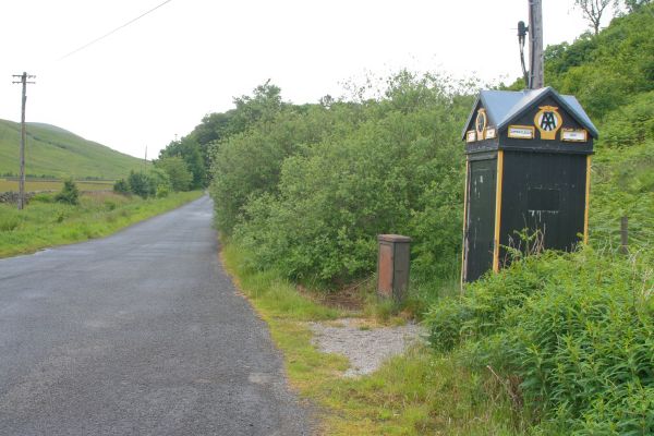
It was a minor compensation to se this old AA phone box. There can't be many left. This one (box 723, though the number is missing) is at Cappercleugh on the A708. More information about the 19 or so that survive is here.
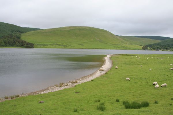
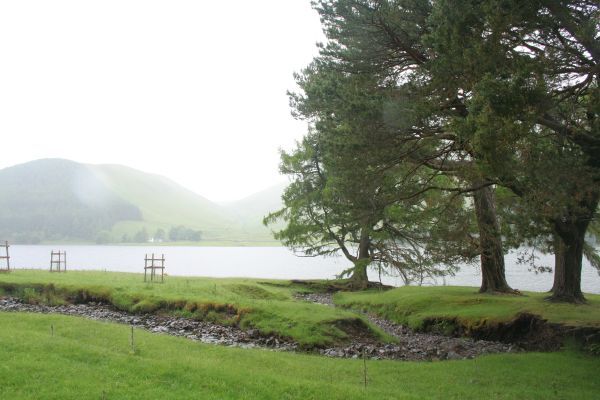
St Mary's Loch from the western shore.
For a while afterwards I thoughht I'd covered Peebleshire on the return circuit of the loch, only to find later that it had all been in Selkirkshire. Bother!