INDEX
______________
June 2013.
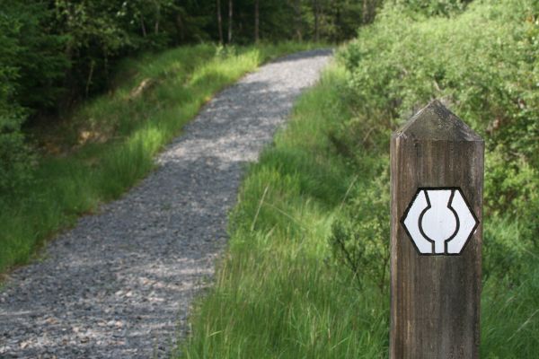
The Galloway Forest is a large part of Kircudbrightshire and the Southern Upland Way stretches across the country, through the forest.
This is its symbol.
Driving from my base in Newton Stewart up the A714 to Glen Trool I find that, unfortunately, the visitors centre with its maps and guides is closed. Nevertheless I take a walk along the rivers leading to Loch Trool, which includes a short section of the Southern Upland Way, and I also visit the Bruce Stane commemorating the victory by Robert The Bruce over the English and Lord Pembroke in 1314. Wikipedia entry on The Battle of Glen Trool.
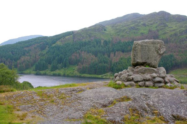
The stone is inscribed:
In loyal remembrance of Robert the Bruce, King of Scots, whose victory in this Glen over an English force in March 1307 opened the campaign of independence which he brought to a decisive close at Bannockburn on 24th June 1314.