INDEX
______________
Near Athelstaneford
March 2016
... was the starting point for this walk in East Lothian in March 2016. East Lothian lies north of Berwickshire and east of Edinburgh. Athelstaneford is just off the A1 and has the National Flag Heritage Centre as well as being the start of this walk. According to legend this is where the original Scottish saltire - the white diagonal cross on a sky blue background - was first adopted.
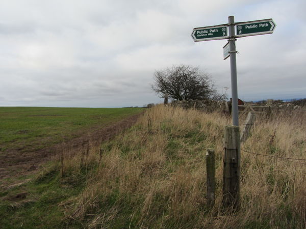
I followed Walking World route 4503 and found varied terrain, good views over the Firth of Forth and a couple of interesting iron age forts. A good walk before going on to stay overnight in Dunbar, a town grown from a pleasant old fishing village also in East Lothian.
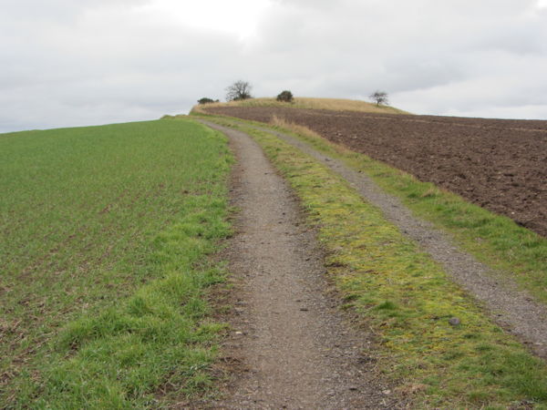
Part of the walking route, leading up to the first of two iron age forts.
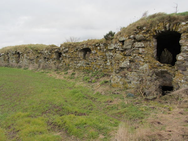
The Vaults, actually the remains of a castle.