INDEX
______________
East Church, Cromarty
May 2016
... is a special place. The town is at the north end of The Black Isle, north of Inverness, and reached via the Kessock Bridge which spans the Moray Firth. It looks out over the Cromarty Firth which was a major base for the Royal Navy's Home Fleet and remains an excellent harbour, once a port for trading across the Atlantic but currently populated by oil rigs.
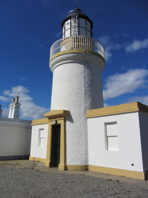 The Lighthouse and its buildings are now a research station, but everywhere in this pretty little town are memories of a prosperous past, with handsome Georgian and Victorian vernacular architecture and of hardship with young children dying at an early age and fishermen and WWII Catalina pilots perishing at sea. Bottle-nosed dolphins are often seen in the area.
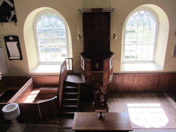
The church is (interior pic above) is now in the care of the Scottish Redundant Churches Trust, who have done a superb job of studying, preserving and presenting the East Church. The Scottish National Trust are responsible for the birthplace of Hugh Miller, Victorian stonemason writer and geologist. A museum next door explains the history of the town.
Cromartyshire was a curious mixture of Cromarty parish and surrounding area plus some 22 exclaves scattered around Rosshire. The two were amalgamated in 1890 as Ross and Cromarty.
I arrived by a convenient bus from Inverness and started my walk along the shore heading east towards the Sutors or headlands which create the edge of the Cromarty Firth.
A misunderstanding on my part when following the Walking World route id=952 meant that I found myself between a WWII gun emplacement and a steep gorge having followed the wrong narrow track. What should have been a short and fairly easy walk turned into a bit of a trial. I turned back from what seemed a very dangerous spot and remain confused as to where and how I got there, as no concrete building is marked on the OS map and Google earth shows just heavily wooded land. I seem to have missed the most interesting natural sights such as MacFaarquhar's Bed, and various natural arches and caves - which means I shall (gladly) have to come again. 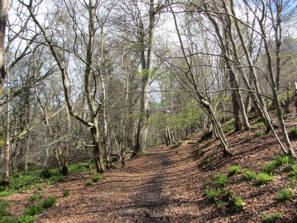
This is the woodland walk which becomes an increasingly narrow track. I don't think this is the right way!
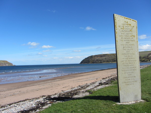
Referring to a ship full of emigrants the memorial says:
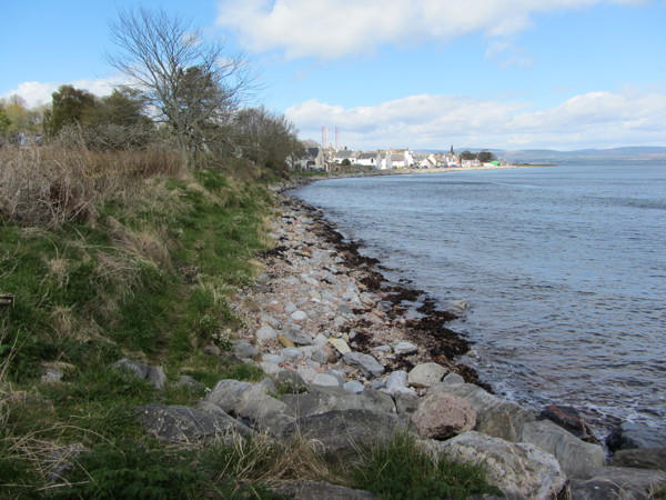
The coast to the east of Cromarty.